
 September 13, 2012
Here is our latest video update from WxCaster PAT on Sanba.
[youtube_sc url=”http://www.youtube.com/watch?v=5iBw6oedxI8″%5D
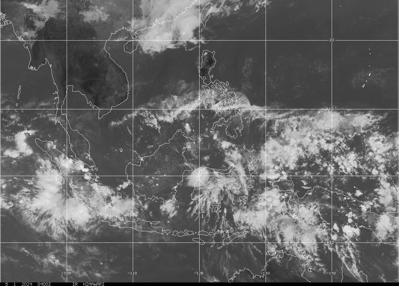
Typhoon Sanba (Bagyong Karen) continues to rapidly intensify as it moves across the Philippine Sea. From a Tropical Storm roughly 24 hours ago, Sanba is now a very powerful Typhoon; a Category 4 in fact according to JTWC. Satellite image below shows the well defined eye of Sanba along with that very symmetric organization. Dual outflow channels to the north and south are helping Sanba to ventilate efficiently, contributing to the rapid intensification of this typhoon.
IR Image from NRLMRY

Current forecasts from agencies and computer models remain in very good agreement. Typhoon Sanba will move in a generally northward direction in the next 2 days. It will also continue to intensify along the way (if it manages to avoid dry air) and JTWC is actually expecting Sanba to become a Category 5 Super Typhoon by tomorrow. If it happens, Sanba will be our first Category 5 and the second Super Typhoon.
According to the forecasts, Sanba could move within 100km of the island of Okinawa, hitting it at peak intensity and subjecting the island to the strongest winds of the storm as they will potentially be in the right front quadrant. After that, Sanba should start to slightly weaken but still maintaining that powerful intensity all the way up to the Korean Peninsula. Current forecasts are taking Sanba towards South Korea by as early as Monday morning perhaps as a Category 3 or 2 typhoon.
We’ll continue to give updates here at Western Pacific Weather so please checking back here. If you are in Okinawa, Ryukyu Islands, Kyushu, and South Korea, please continue closely monitoring the developments of this system. We are NOT and official warning agency so check your country’s weather bureau for the latest official forecasts and warnings. Stay safe!
-WxCaster PAT


No comments yet... Be the first to leave a reply!